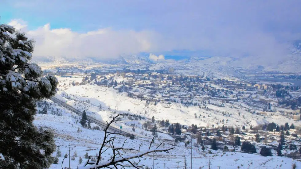
Snow could fall as soon as Friday in Kamloops
-
Share on Facebook
-
Share on Twitter
- Copy Link
KAMLOOPS — It may have been a warmer-than-normal start to November in Kamloops, but it won’t last for long.
Environment Canada Meteorologist Bobby Sekhon says cooler temperatures — maybe even snow — could be coming to the city within the week.
“Cooler air will take place and we’ll see below normal temperatures. For example, Wednesday is sunny with a high of four degrees — the normal this time of year being seven degrees,” Sekhon says. “Friday it looks like we have a chance of snow or rain because the temperature is going to be quite low and there is a weak disturbance moving through, so we’ll see how that goes.”
This comes after unusually warm temperatures to start off November, with highs of up to 14 C in the first few days of the month. The normal high for this time of year is 7 C, and Sekhon points out the warmer temperatures are due to a weather system off the Pacific Ocean that brought rain showers to the city.